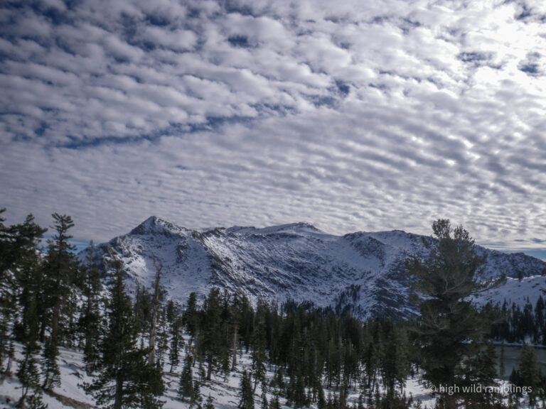
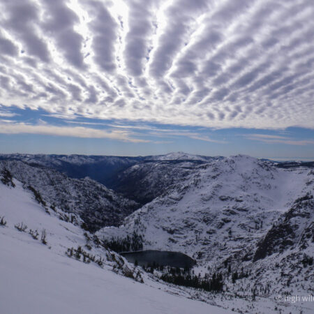
The washboard sky echoes the bends of the canyon, waves over waves. In many places in this part of the west slope of the Sierra, successive mountain tops and ridge tops are at the same level, as seen here, because that is the plane of the former terrain before the Sierra was uplifted and incut, when this region was old, worn down, low rolling metamorphic hills.
Then a series of eruptions sent lava flows following down the shallow drainages of this ancestral landscape, which then solidified harder than the surrounding old metamorphic country rock, so when the Sierra was then uplifted, the softer old ridge lines were worn away, leaving the more durable new volcanic rock in the old creek beds, to now stand as the ridgetops we see today. The terrain has ‘inverted topographically’, as geologists say.
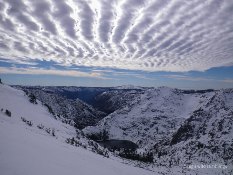
This is all just a choppy rolling surface we are camped out on, for the time being.
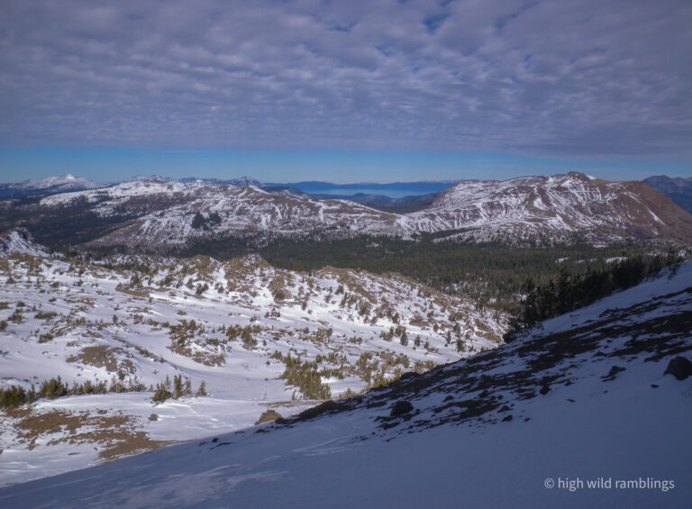
The faint ribbon on the horizon at far right is the Coast Range, 120 miles distant.
Altocumulus mackerel sky (altocumulus undulatus) has cloud bands perpendicular to the direction of upper winds, and often portends a change in the weather.