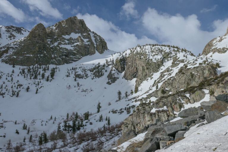
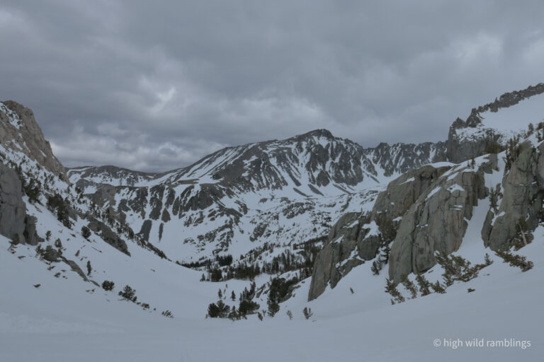
The summer trail up the South Fork of Big Pine Creek climbs the ramp beneath the crag at left.
… but I went up the direct way, since the snow was set-up solid and I was booting.
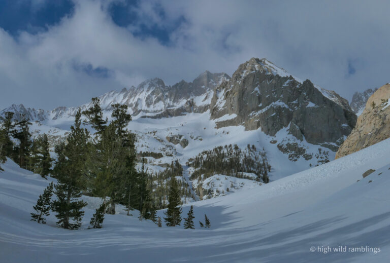
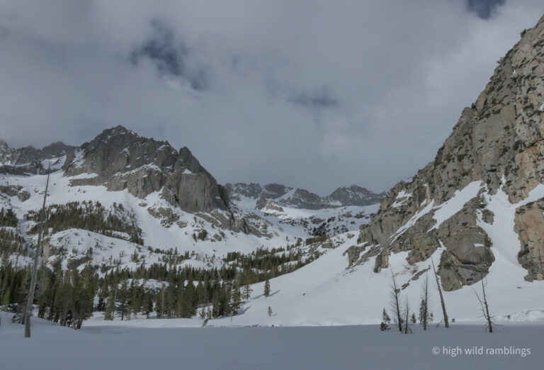
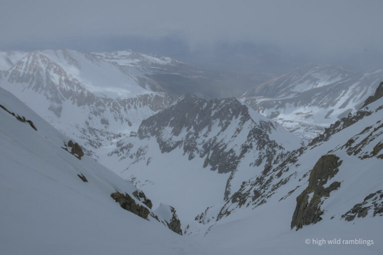
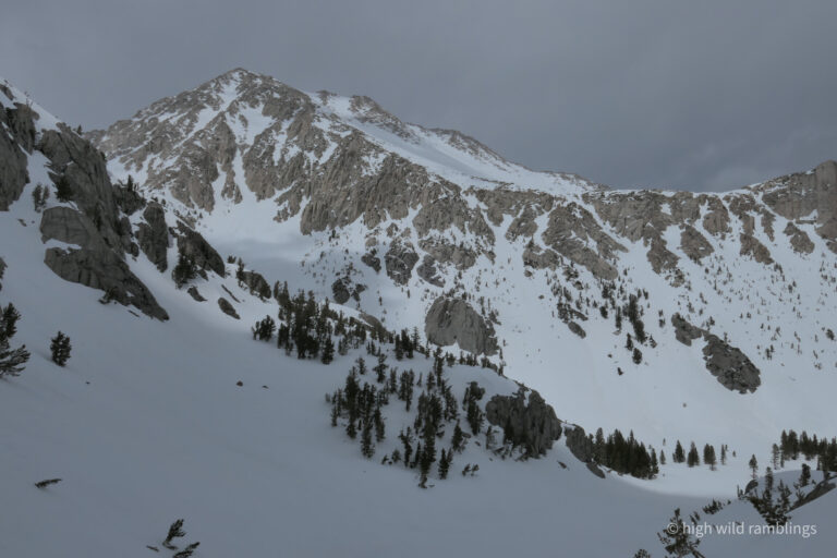
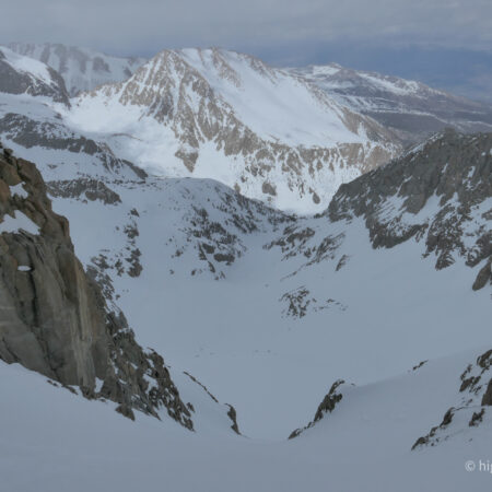
Middle Palisade (14,018′) and Norman Clyde (13,970′) Peaks in distance left of center
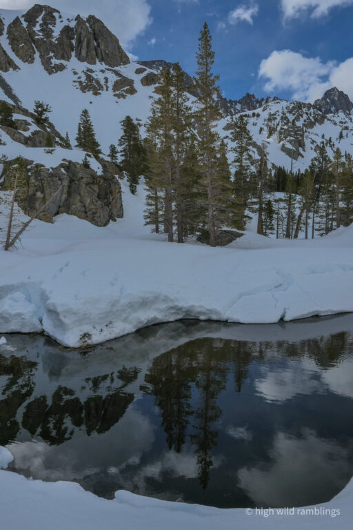
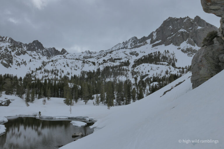
Willow Lake
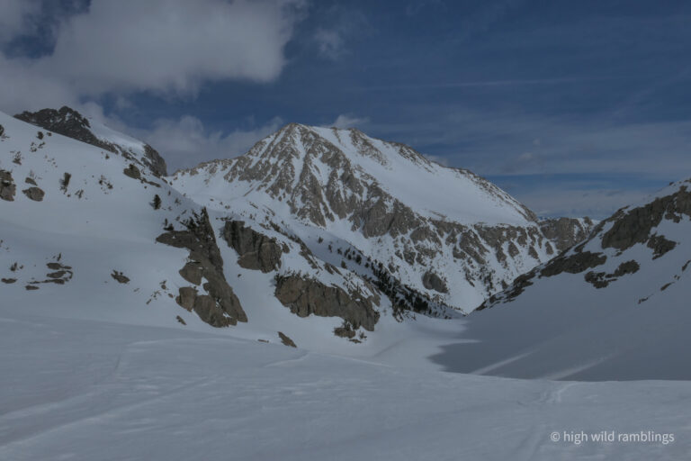
Temple Crag (12,975′) at center
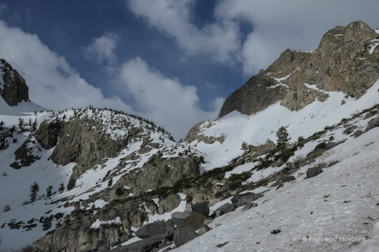
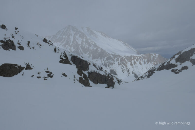
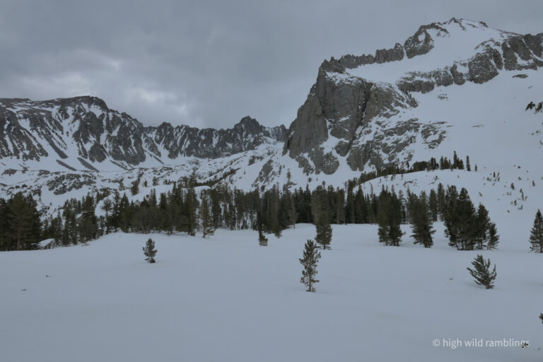
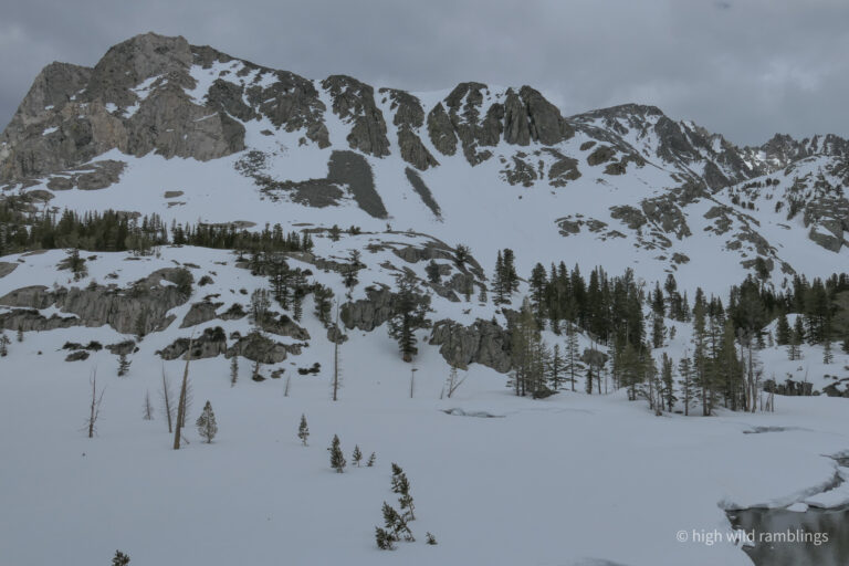
Buck Mountain (12,841′)
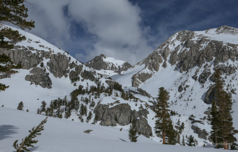
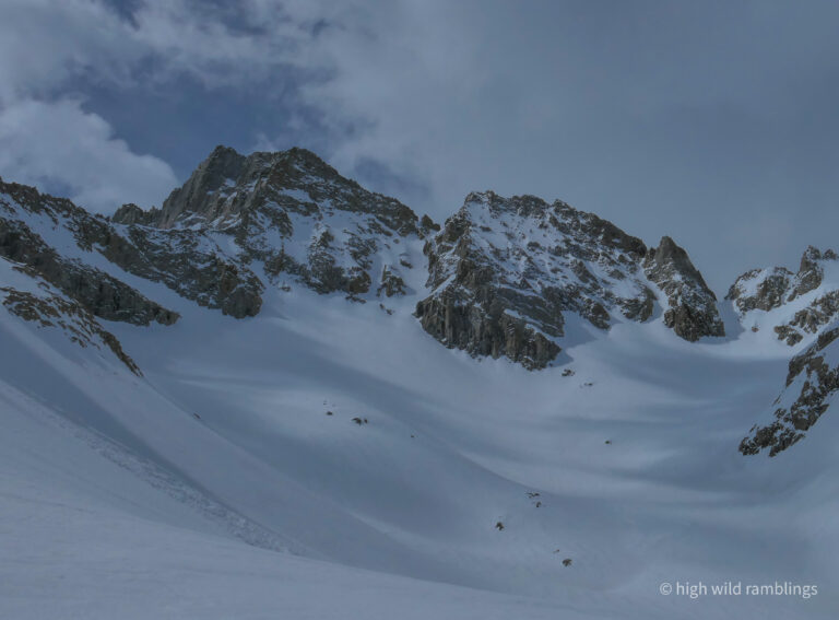
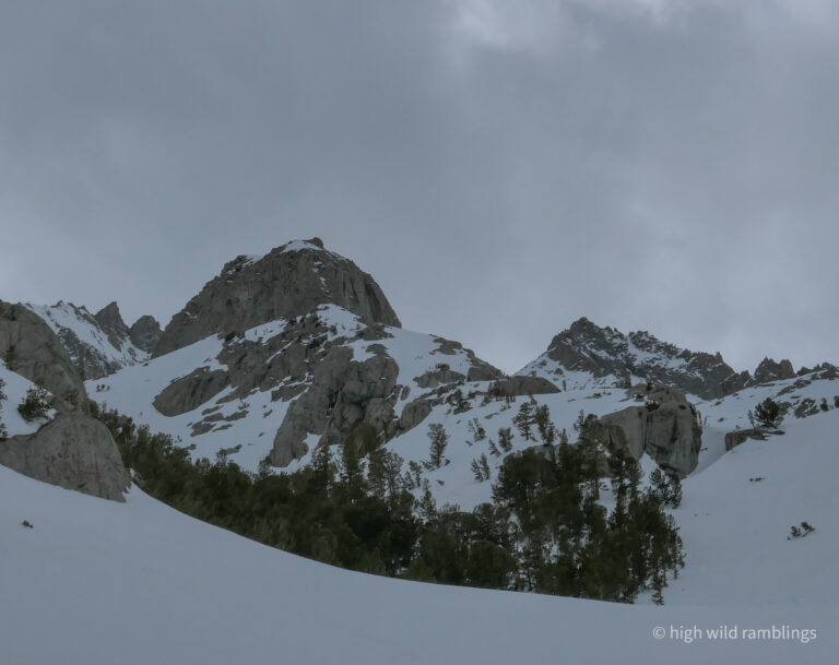
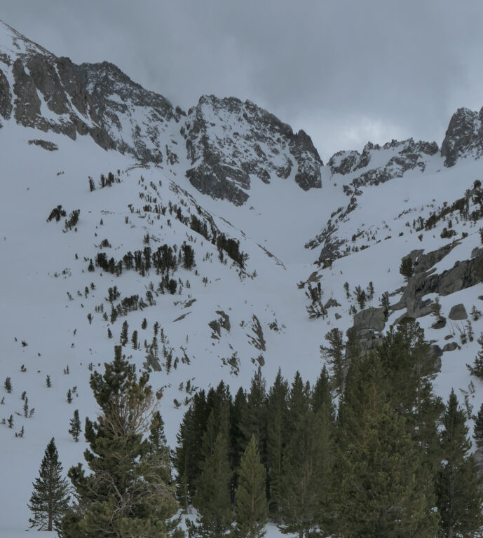
The sun kissed gully at center caught my eye, climbing the north face of Norman Clyde Peak (13,970′) to the Pacific Crest above the Clyde Glacier. Let’s go!
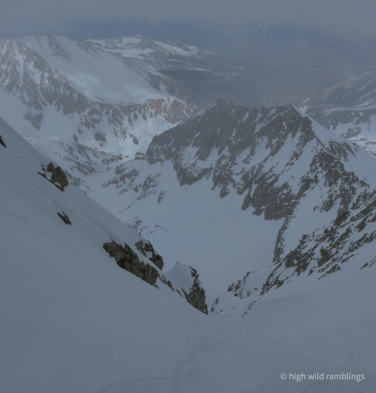
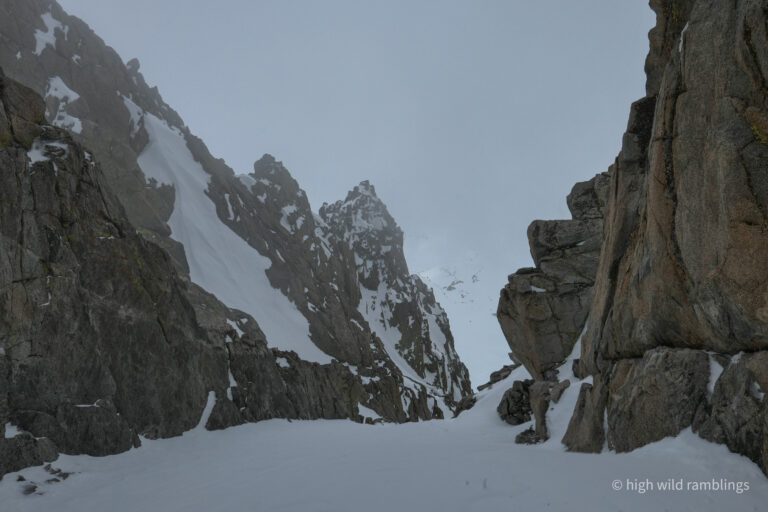
Clouds socking me in as I climbed, taken from top of the thousand foot north gully at about 13,420′
Peering over the west side offered little encouragement of what was to come.
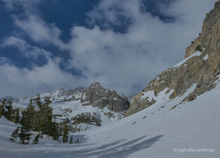
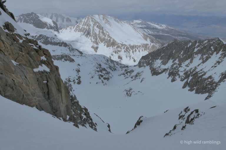
Buck Mountain at center, Temple Crag at left, Owens Valley far below
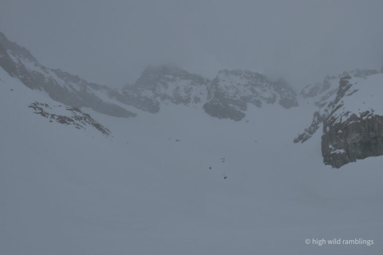
Out go the lights, skiing by braille in the out run, luckily the snow was smooth and carvable. Visibility got worse as I went, and one time as I came to a stop, it was so blank I couldn’t tell if I was even moving or not and actually toppled over from vertigo. While pelting my face with ice pellets as I raced it down, the cloud’s humidity also turned the snow to greatly sucking schmoo, making for awkward, strenuous skiing. I would get ahead of the cloud and then stop to let my quads recoup, and it would catch up, threatening to engulf me, and I would barrel onward, carving defensive, grabby GS turns, like I meant it. Fun!
Looking back up, ‘oh sure, now it clears out’. But it’s not likely to last, and I’m afraid the cloud humidity’s snow quality damage has been done.
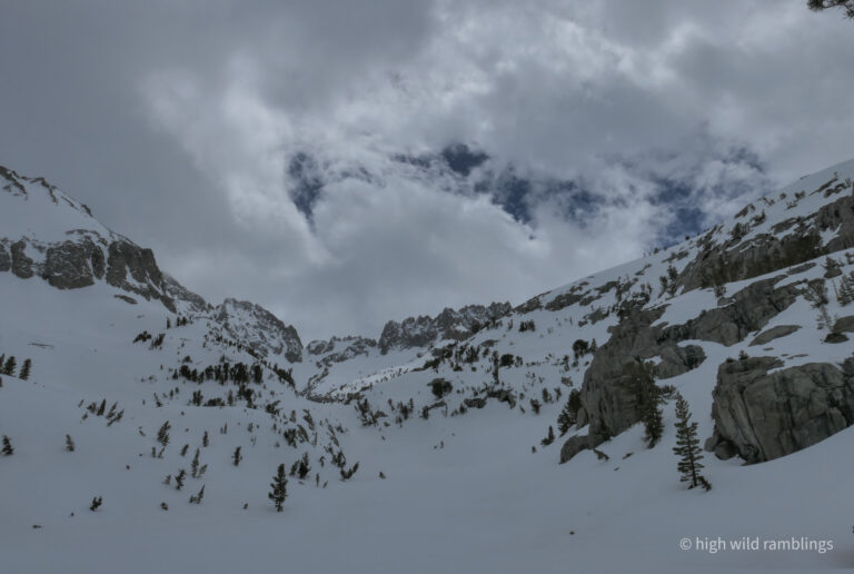
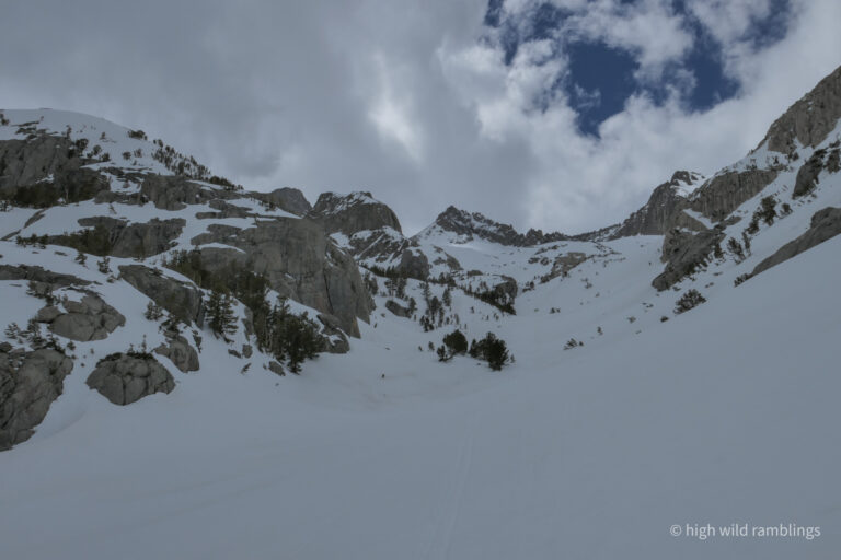
I ventured further up the main canyon, hoping for better snow, but to no avail.
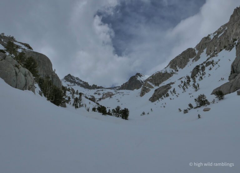
Time to head back down
There’s my braided Clyde gully again, peeking around the corner, left of the low spot in the skyline.
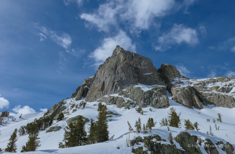
The Thumb
Middle Palisade (14,018′) in distance at center, and the Thumb (13,356′) at left, from Willow Lake
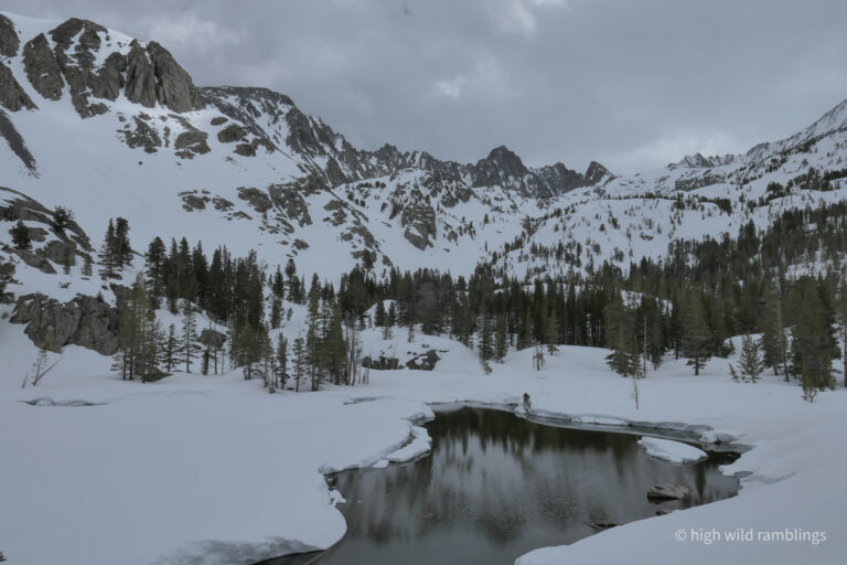
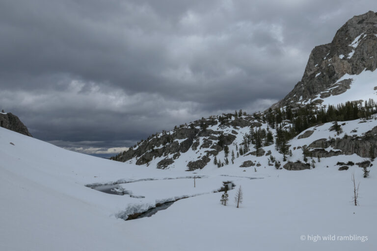
This morning, at the creek on the other side of Willow Lake here, where it had freshly melted through a snow bridge, I side-stepped over the flowing water, and the chunk on the other side shifted a bit, and I stood there straddling it midstream, debating. I would have to back track quite a ways, and the creek here was only a foot and a half deep, and it seemed solid, so I went for it, gingerly, and it held, or it would have been a short day. I don’t think the guys following, appreciated my route finding, judging from their tracks here. They went up this side canyon toward South Fork Pass and Middle Pal instead of crossing.
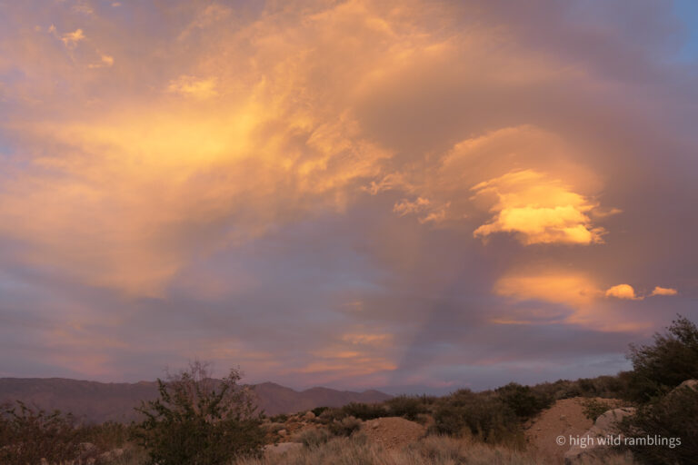
Taken from inside the back of my rocking truck, after a madcap race around a maze of dirt roads during a crazed wind storm, looking for a place to sleep. I quit looking and parked at sunset, and the wind subsided overnight, so I got to sleep. Today’s final reminder of how we pass only where this vast mountainscape allows, making the improbable little successes all the sweeter.