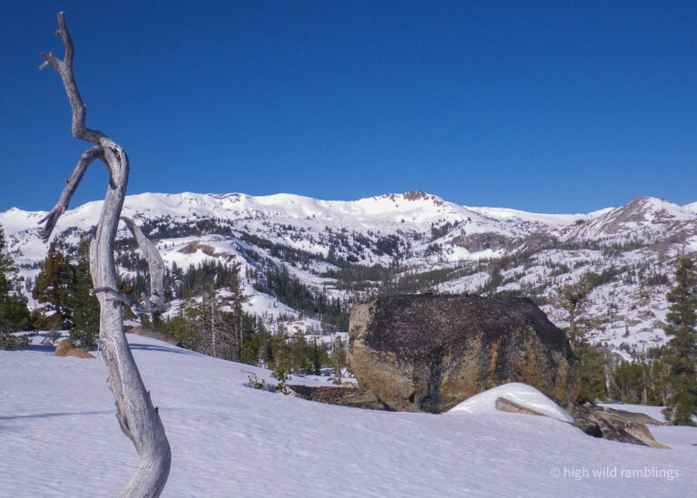
Crossing onto the west slope, into Rockbound Valley
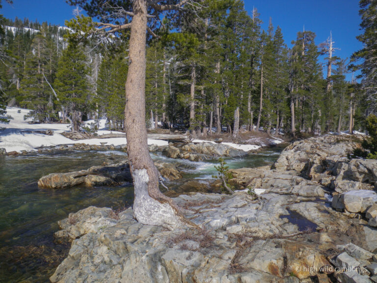
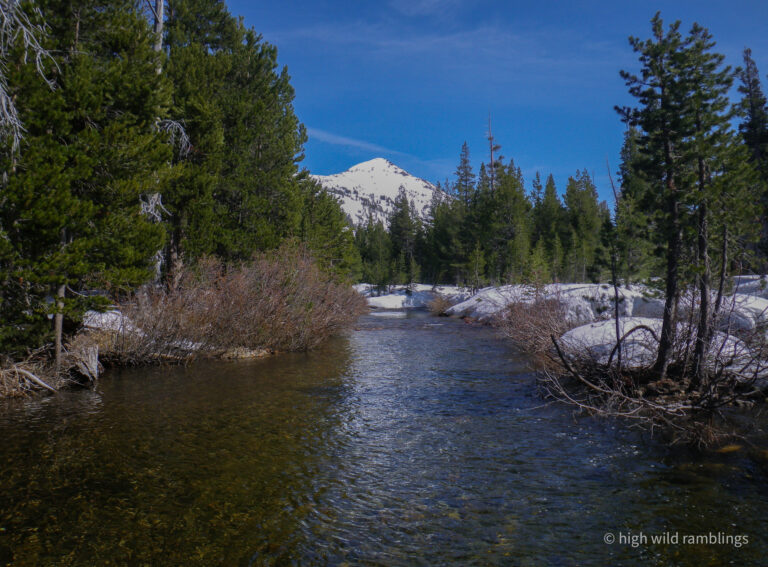
This Lodgepole Pine remembers how high the Rubicon River can flood. The colorful striped meta-sandstone is even visible on the creek bottom at center.
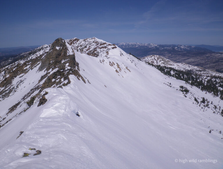
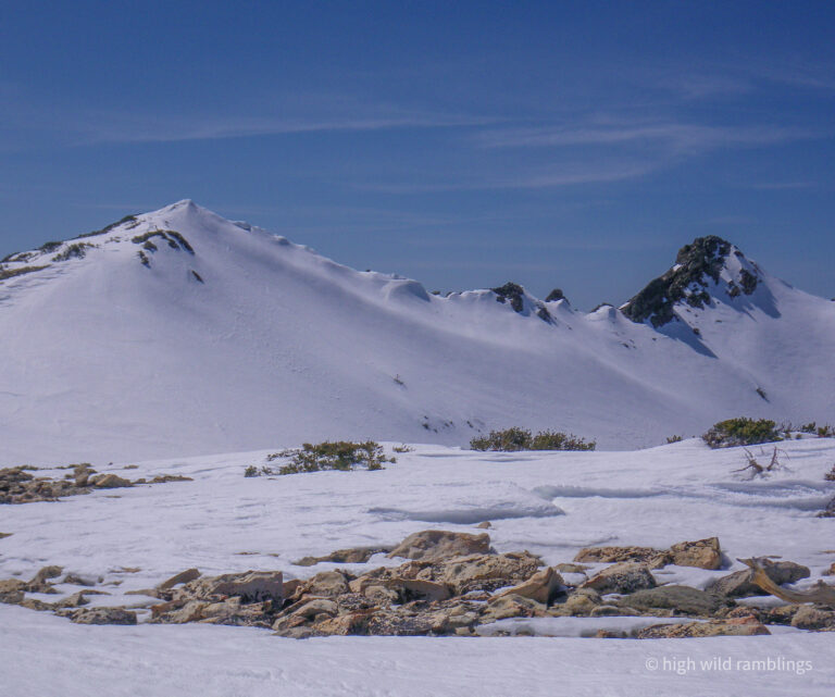
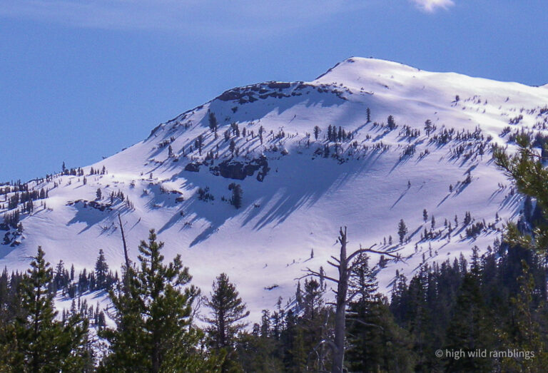
Looking north along the crest of the Crystal Range, poised atop the Skitip (9,331′)
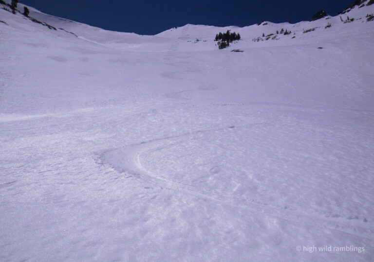
The fall-line rolls down to Lois Lake, distant Tahoe visible in a couple spots, ridiculously large for it’s location
Crossed recent bear tracks above the lake.
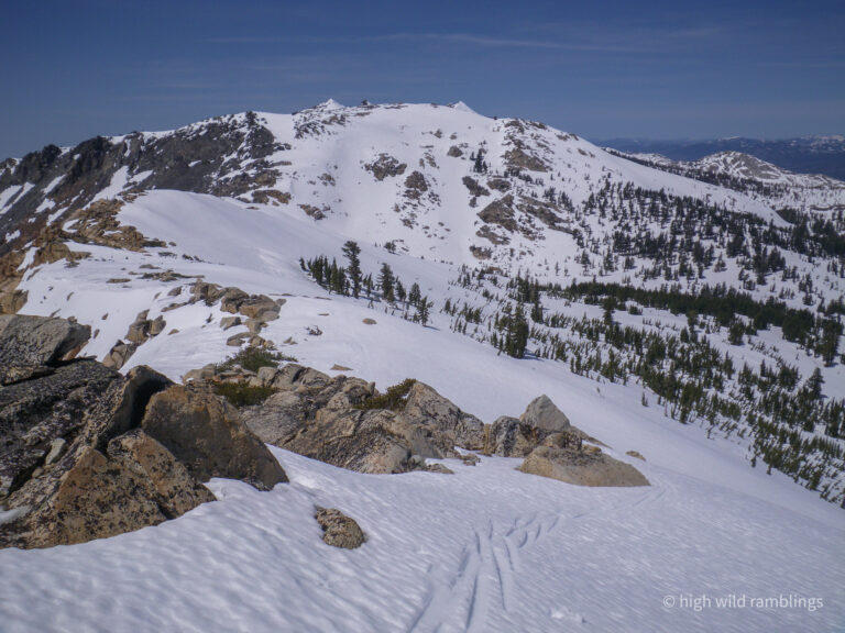
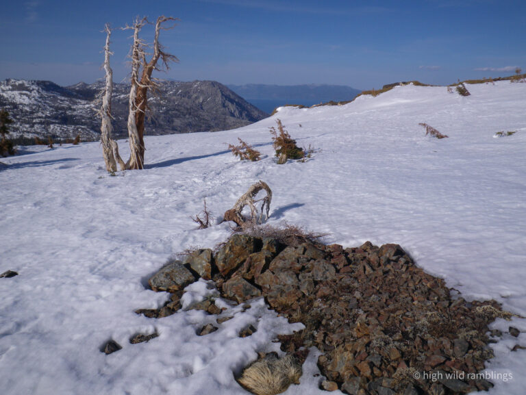
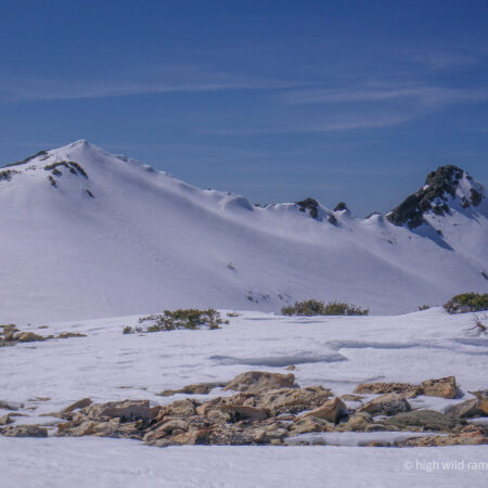
View looking south down the Crystal Crest from Pt. 9,045′ on the other side of Rockbound Pass.
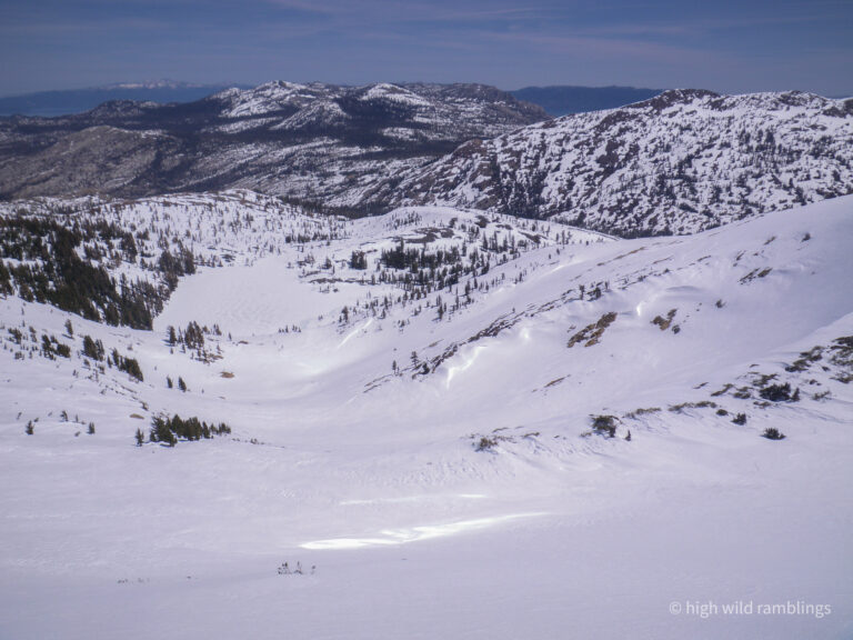
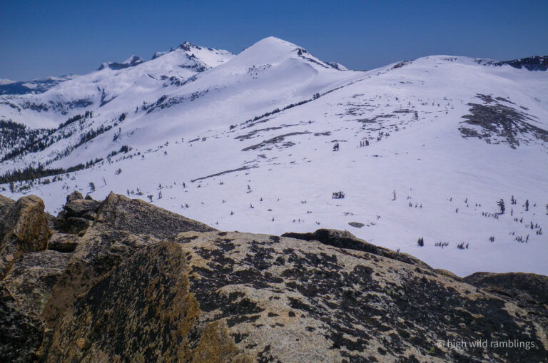
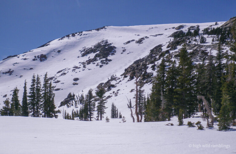
Looking north over Rockbound Pass, at the face above Doris Lake, think I’ll ski there next
From the top of my line to Doris, looking over at Ski Tip Point. Poised on the tippy top, my tips and tails hung out in space, and I chucked a flying tele plunge into a tightly linked fall-line rhythm, giggling, not another human for a hundred square miles. My tracks are just visible here
My tracks above Doris Lake. The snow is getting rotten, the trapdoor trying to open beneath me. Time to head back homeward
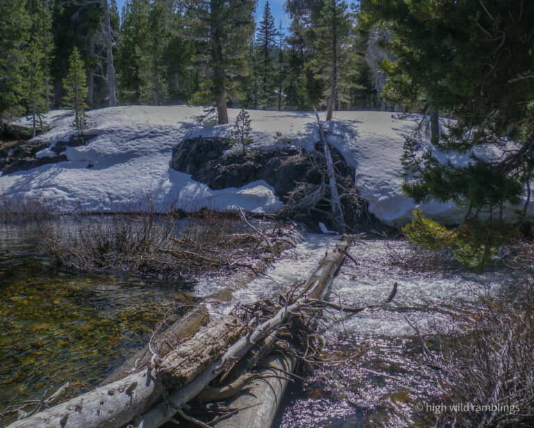
First crossing for a ways, just a little icy this morning, and a little deeper now, far bank is rough, but it all worked out somehow
My tracks are just visible on Pt. 9,045′
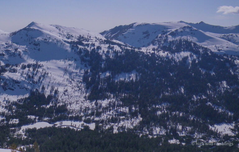
Rockbound Pass x3; 9045′ at left, Doris in shadow at center, with the Skitip just peaking out behind, skylined, from back up on the Pacific Crest.