Having bushwhacked back up George Creek to where my ski gear was stashed on the snow below, looking back over my shoulder now at the Owens Valley (4,000′) growing deeper behind me. These water birch seem fine with being flattened by avalanches every winter.
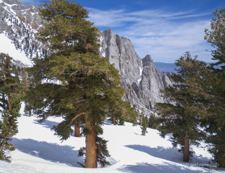
Nearing treeline and the limits of this Foxtail/Whitebark Pine forest at 10,500′
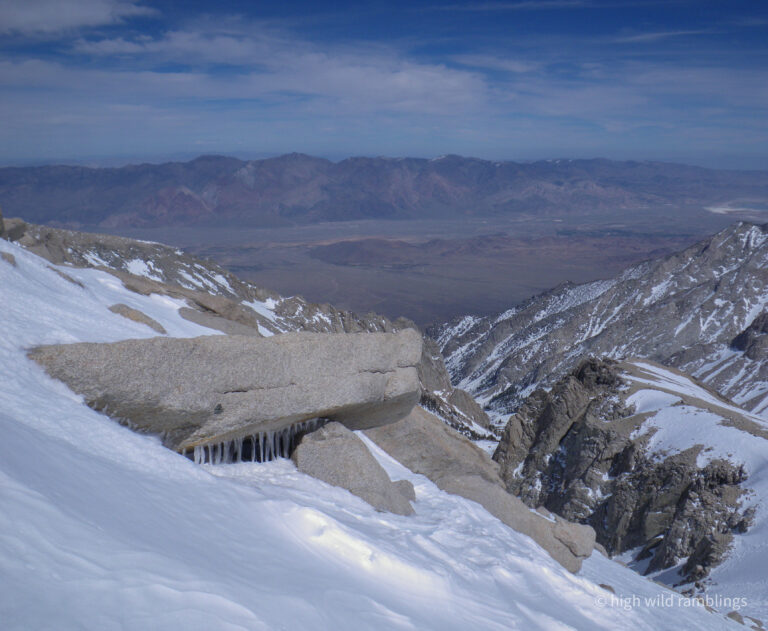
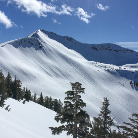
Snow shark breaching high on Trojan Peak
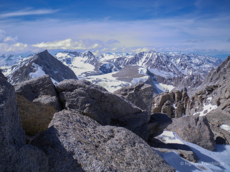
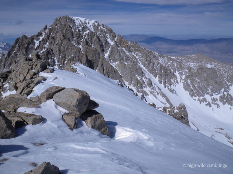
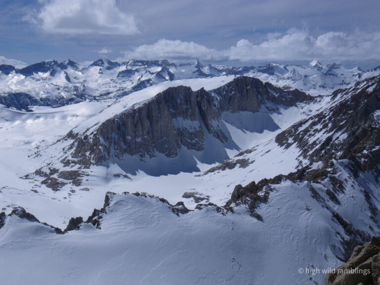
Looking north east from the summit of Trojan Peak (13,947′) at Tyndall, Junction, and Keith. The cornices lining the edge of the flat, fetched out ridgetops are quite decorative.
Imposing Mt. Williamson (14,375′), where I skied yesterday, head to toe the most massive mountain in the range, which drains into the Owens River in the Greast Basin, and now continues flowing on over and through the Tehachapi Mountains and into the toilets of Los Angeles (water flows uphill to money, and down their toilet).
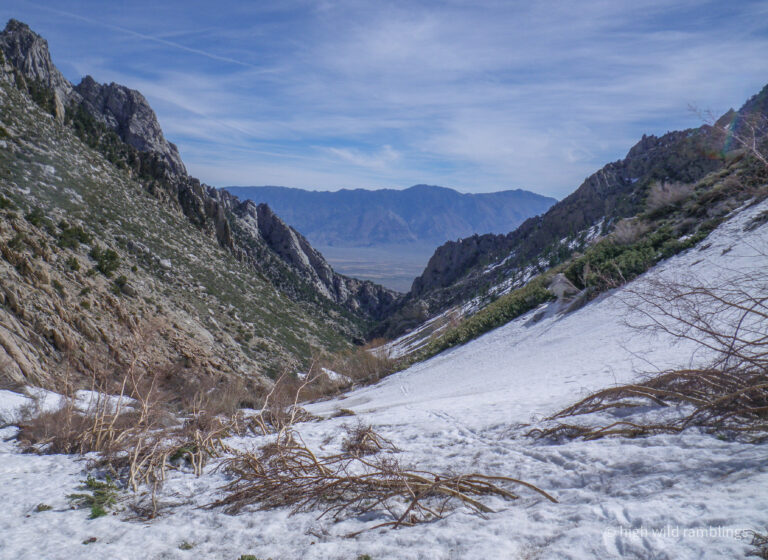
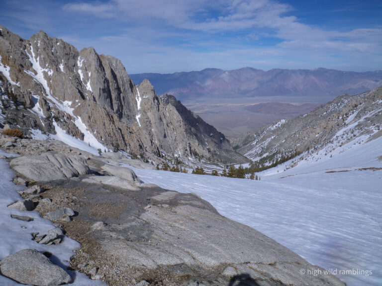
Looking down George Creek
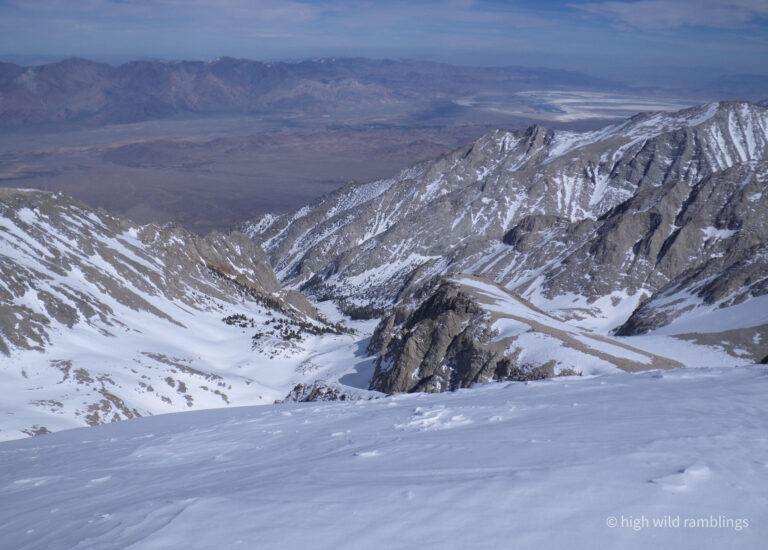
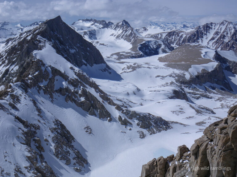
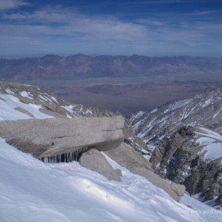
From the top of Trojan Peak (13,947′) we see the saline bed of Owens Lake at elevation 3,500′ (largley drained by L.A. Water & Power), Death Valley is lost in the haze beyond, with the Sierra rearing to it’s apex at far right, Mt. Whitney, (14,494′) 11,000 vertical feet in twenty air miles!
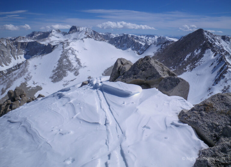
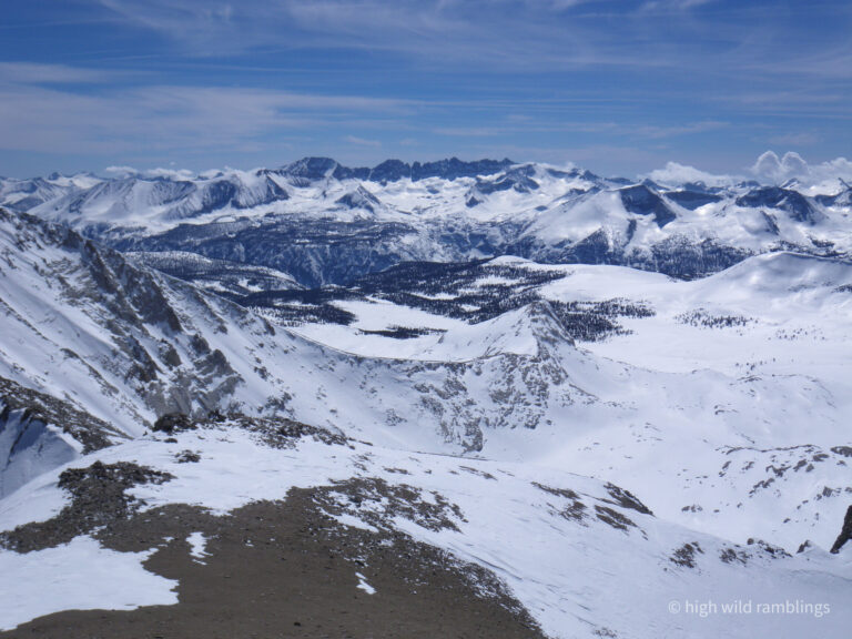
Panning southwest across the Pacific Crest to the craggy dark Kaweahs, and the headwaters of the Kern River
The skylined Kings/Kern Divide joins the Sierra Crest at Junction Peak offscreen at right
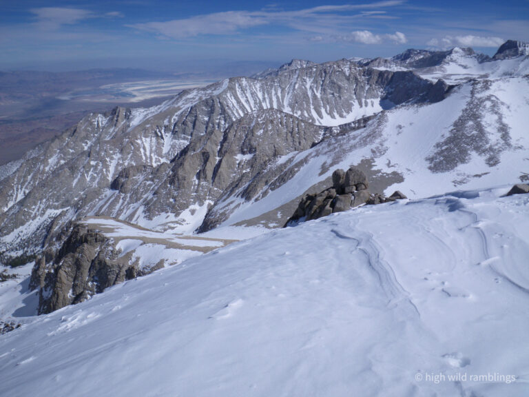
To the north west lies chocolatey Mt. Tyndal and Junction Peak
Smooth sun-ripened refrozen ‘corn’ snow at 12,000′ is an elusive taste treat. yum
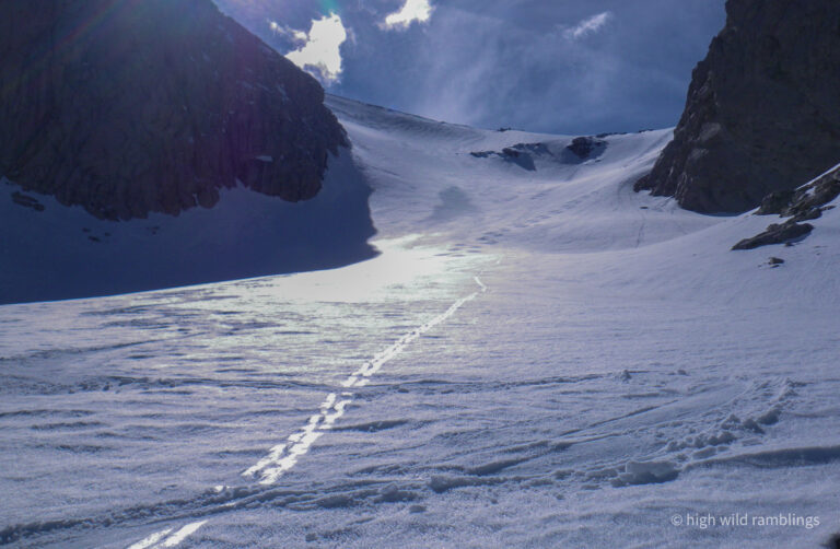
The rest of my 6,500′ vert. four mile ‘blue square’ ski run from the Crest down George Creek. No need yield to merging skiers
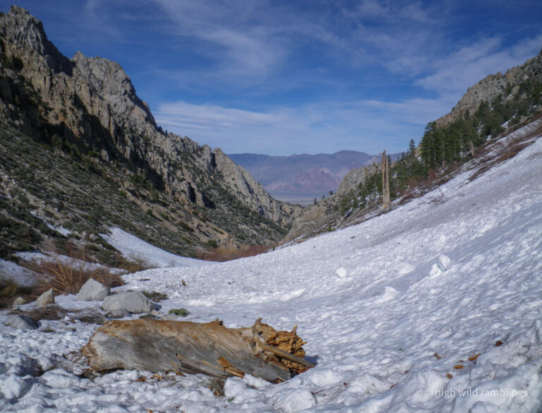
This log was delivered from far above, via an old avalanche from a side drainage, that filled in the canyon bottom here, providing a good ski thoroughfare.
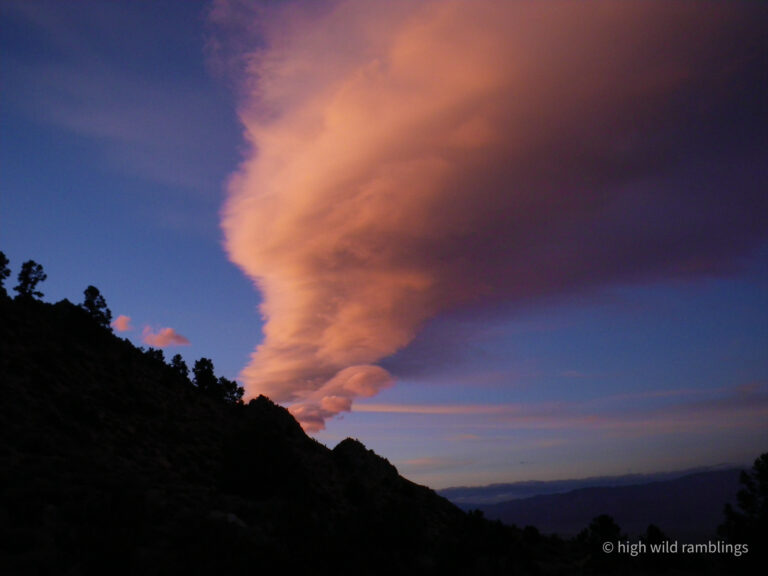
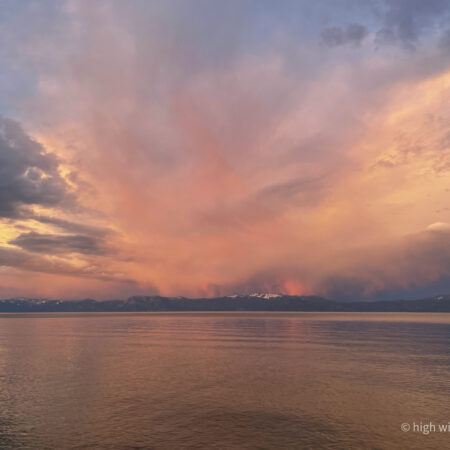
Back at camp for a cocktail hour fanfare to celebrate another fine day of poking around in the hills. Hopefully this standing wave cloud doesn’t signal too dramatic a change in our fine weather.